The Negev and the Nabateans: a desert of stone and the Incense Route
More than half of Israel is desert — and almost none of it is the desert you're picturing.
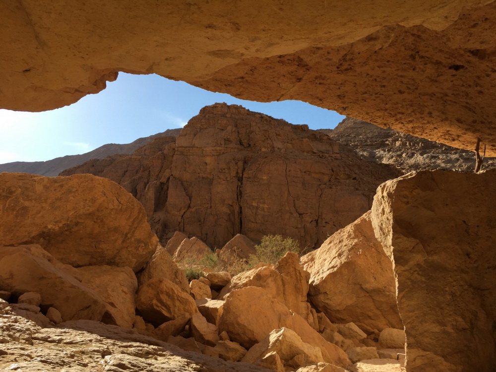
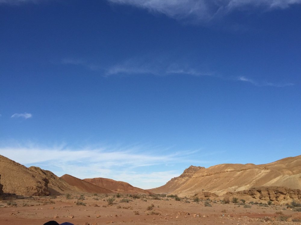
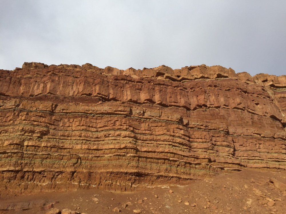
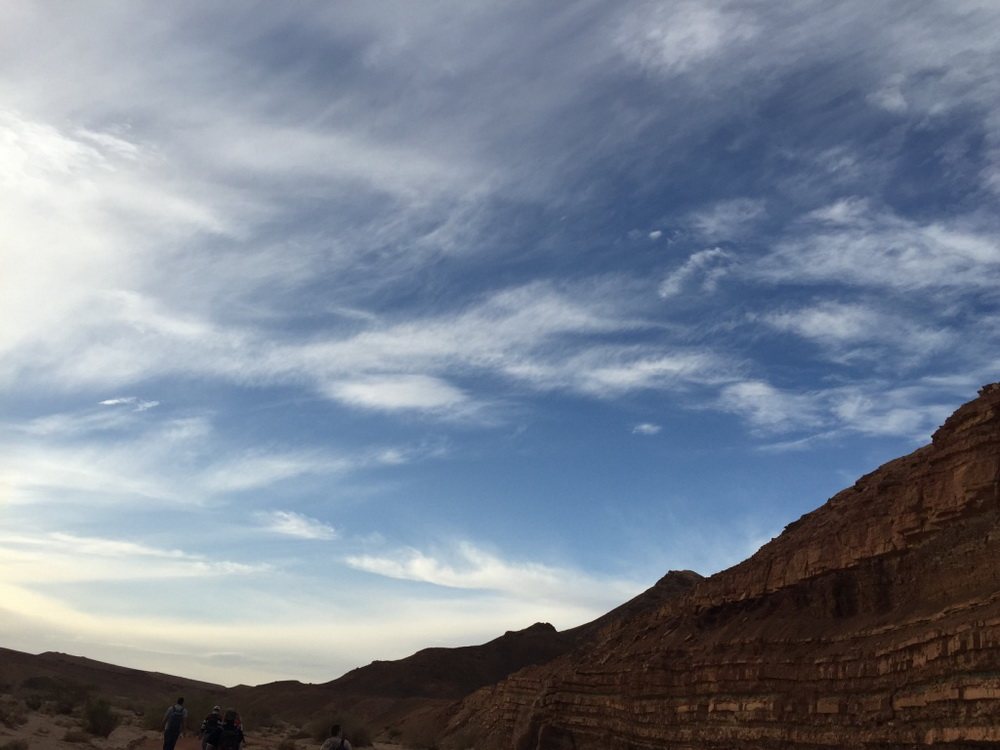
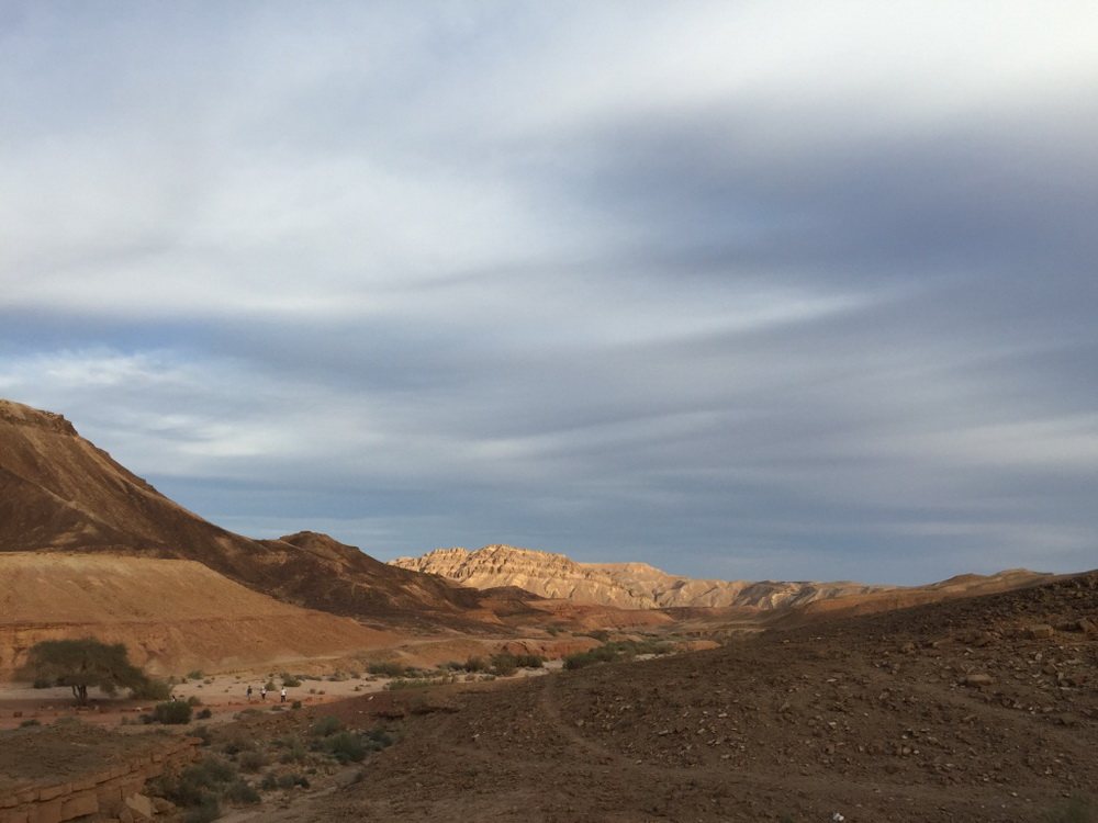
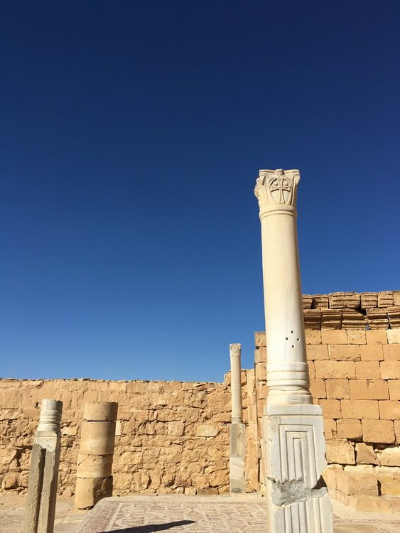
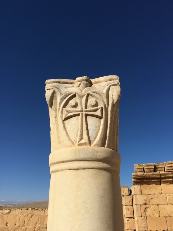
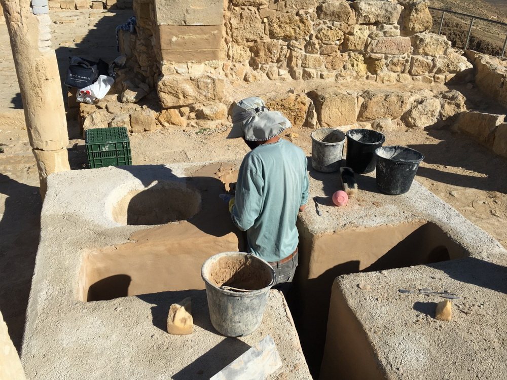
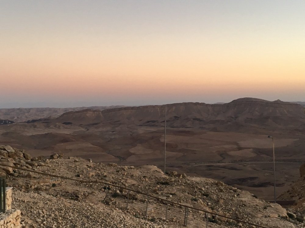
The Negev is more than half of Israel and home to barely a tenth of its people — Beer Sheva, Dimona, Arad, Mitzpe Ramon, the Bedouin villages, and between them a stone desert where the horizon runs unbroken and the silence is the loudest thing in it. Here the rock does the talking: white chalk and limestone, black flint underfoot, red and gold sandstone, and in the far south granite among the oldest stone exposed in the country. Set into all this is a landform found nowhere on earth but here and in Sinai — the makhtesh, which geologists call an erosional window. Not a meteor crater and not a volcano: water hollowed out the inside of a mountain until the roof collapsed, laying open some two hundred million years of strata in the walls. The largest, Makhtesh Ramon, is forty kilometres long and five hundred metres deep, and the road down into it passes a cliff studded with Triassic ammonites and a slope of black prismatic rods pushed up by magma that never reached the surface. Two thousand years ago Nabatean caravans crossed this desert carrying frankincense and myrrh up from Arabia to the sea, and four of the towns they built on that road — Avdat, Shivta, Mamshit and Haluza — are UNESCO World Heritage, still standing in the sand with their cisterns and terraced fields. After the incense came wine: presses cut into the rock of these towns supplied the Gaza wine drunk across the Byzantine world, and Shivta's output alone has been estimated at some two million litres. Vines grow here again — a handful of small wineries around Mitzpe Ramon and Sde Boker make some of the most interesting wine in Israel, in a place with almost no rain. Ben-Gurion looked at the same landscape and saw a desert that would bloom; he moved out here to a kibbutz to prove it, and lies buried on a cliff above the Zin valley. And bloom it does: drip irrigation, invented in this country, turns brackish water into tomatoes and dates, and near the village of Ashalim 56,000 mirrors follow the sun onto a tower 260 metres high, visible from far across the plain. Route 10 runs south along the Egyptian border, and from it the desert opens out in every direction. It is at its best at dawn and at dusk
- Suggested length
- 1–2 days
- Difficulty
- Moderate to demanding, depending on the route
- When to go
- October–April; over 40 °C in summer
What we will see
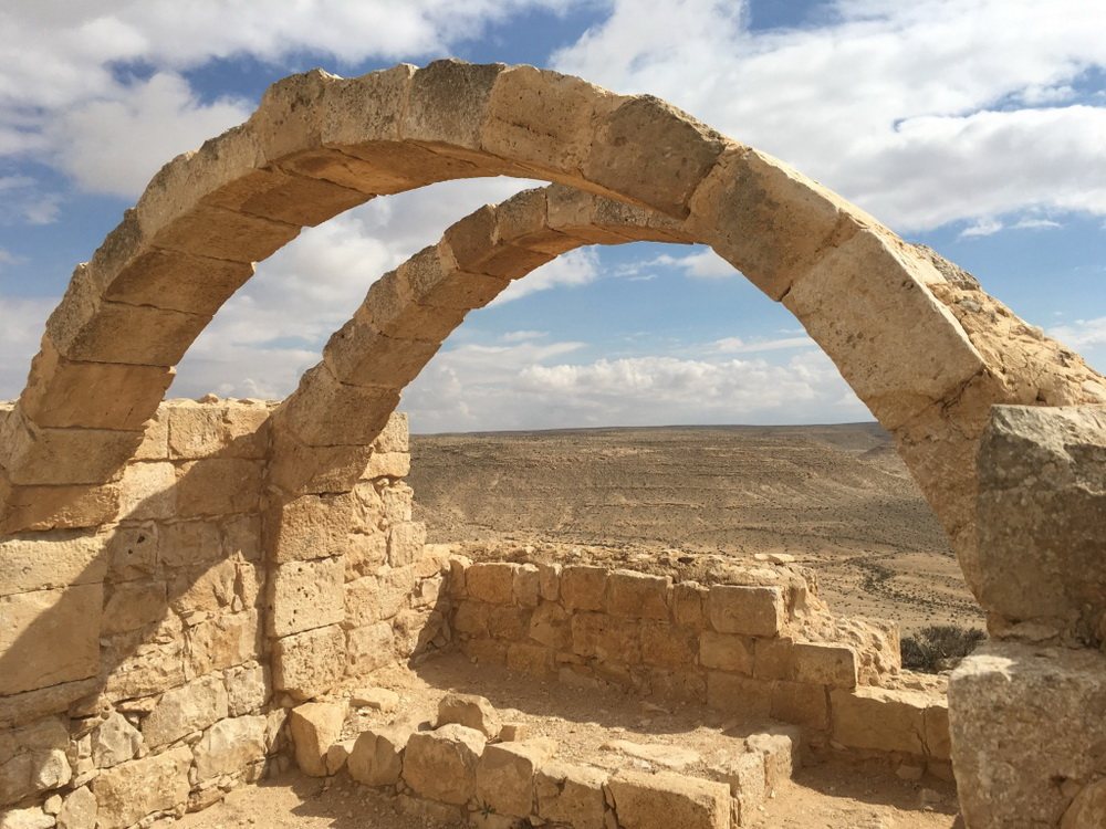
- Avdat — A Nabatean city on the Incense Route, UNESCO listed. The best preserved of the five.
- Makhtesh Ramon — A forty-kilometre erosion crater — the largest formation of its kind in the world.
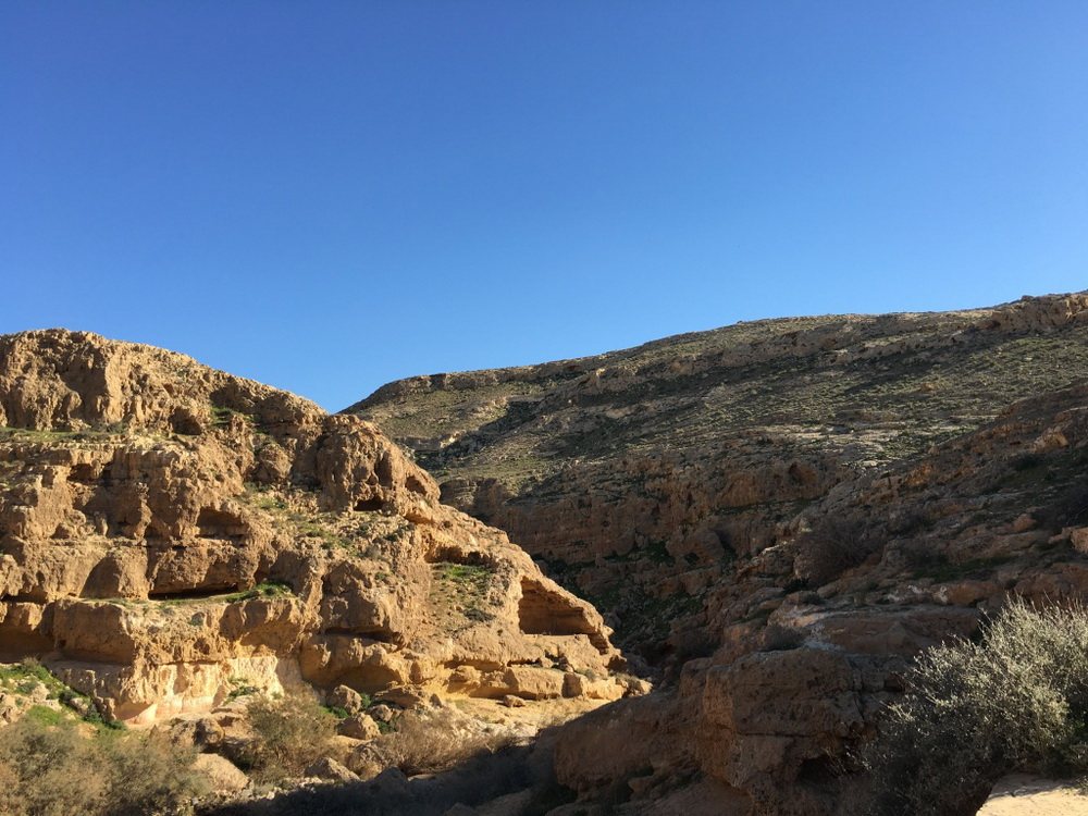
- Ein Avdat — A canyon with waterfalls and pools in the middle of the desert. A short but steep hike.
- Shivta — An abandoned Byzantine-Nabatean city without walls, UNESCO listed.
- Mamshit — The smallest but best preserved Nabatean town, UNESCO listed.
- Sde Boker — The kibbutz where David Ben-Gurion retired. His grave overlooks the Zin canyon.
- Beersheba — Abraham's well and the capital of the Negev. The Bedouin market is held on Thursdays.
Photos from the tour

Tell me what draws you here
An approximate date and the number of people is enough to start. I reply within 24 hours with a suggested route and a price — with no obligation.